“…the Domnann multitudes, from Inbher Domnainn, now the river and bay of Malahide, in the county of Dublin, so called from a party of the Fir Bholg, the Domnann section of them, under their leader Sengand, having landed there.”1

Most of the northern boundary of the townland of Yellow Walls is bordered by the Broadmeadow estuary or ‘ Inbher Domnainn’ as it was once named.*
Why ‘Inbher Domnainn’? The answer lies in Ireland’s ancient history and its invasion by successive waves of different peoples such as the Formorians, the Fir Bolg, the Tuatha De Danann, and the Milesians.
When the Firbolg descended upon Ireland, some 1300 years before the Christian era, they were said to have been divided into three separate groups, under three different leaders, and to have landed at three different places. One of these groups was the Fir Domnainn and the place where they landed was known afterwards as Inbher Domnainn, i.e. the river mouth of the Domnanns (the other two groups were the Lagin and Galiói; all three groups are sometimes known collectively as the Laginians). The leader of the Fir Domnainn was Sengand.1
 |
 |
 |
Saint Patrick is also said to have visited the estuary but not to have departed on friendly terms. In his voyage along the east coast of Ireland, it is said he “shewed his mast to land, and went prosperously voyaging along the coast of Ireland till he anchored in Inver Domnann; he found no fish therein and inflicted a curse upon it.”2
 |
 |
 |
The Broadmeadow estuary was created with the construction of a viaduct and associated embankment in the 1840s to serve the Dublin to Drogheda railway line. This first viaduct was a wooden structure 577 feet long, with 11 spans of 52 feet each. It had to be replaced in 1860 with a wrought iron structure supported on stone piers, which in turn was replaced with a concrete structure in the 1960s. The collapse of a section of the bridge in 2009 required one pier to replaced, while others were strengthened.

Plans for the wrought iron rail viaduct built in 1860. A drawing of the original wooden structure is also shown.5
A weir located under the viaduct ensures that the estuary never drains completely even at low tide so it is essentially a shallow, artificial lagoon. The outer estuary (Malahide estuary) by comparison, drains almost completely at low tide, exposing extensive areas of sand and mud flats. Malahide estuary is mostly cut off from the open sea by a large sand spit, known as “the Island”, which is actually joined to the mainland.
Measuring approximately 3 miles by 1 mile, the area of the estuary is roughly 300 ha with an average depth of 2 metres.
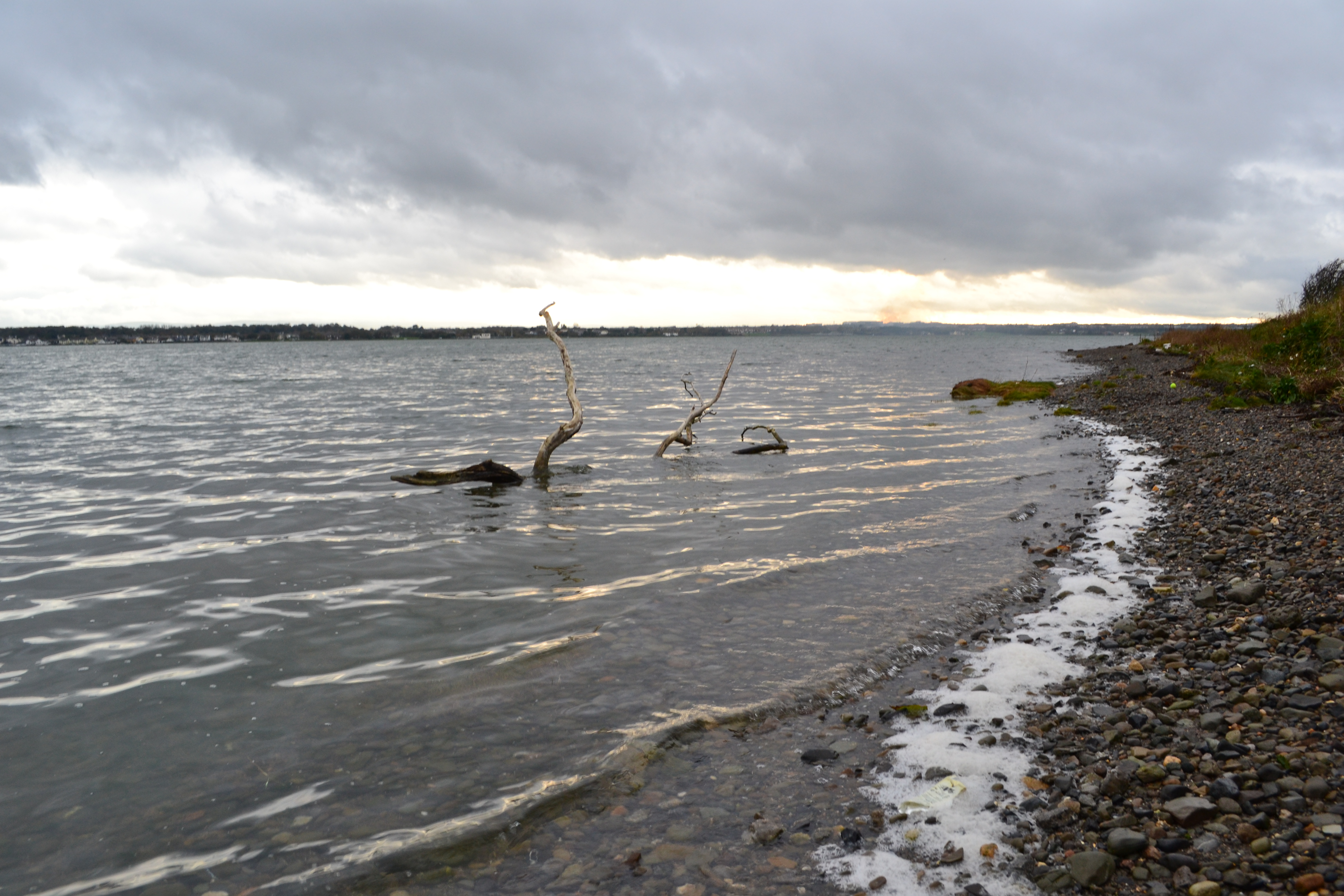
North shore of the Broadmeadow estuary at Kilcrea
Fresh water flows into the estuary from the Broadmeadow and Ward rivers, both of which rise in Meath, and also from the Gaybrook, Lissenhall and Turvey streams.
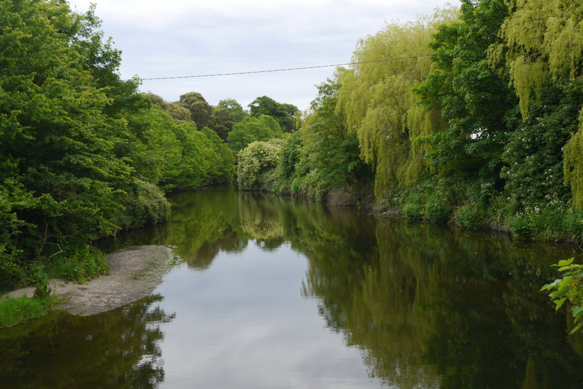
Broadmeadow river where it enters the Broadmeadow estuary at Spittal Hill
Historically, Malahide was a busy trading port (“Malahide bay”) from at least the fourteenth century. Its main business was fishing with grain, meal and flour being exported and coal being imported (around 20,000 tons annually). The construction of the railway bridge meant that large vessels could no longer access the inner Broadmeadow estuary. This brought to an end the unloading of coal at the small harbour of Newport near Lissenhall, which had its own harbour master.3

Newport Harbour, Broadmeadow estuary. The sea walls to the right and left were built from rubble limestone around 1740. It was probably constructed as part of the Seafield demesne – Seafield House, built around the 1740s, sits just above the harbour.
In the early 1900s there was a proposal by the Royal Commission on Coast Erosion to reclaim a large area of the Broadmeadow estuary for agricultural land. The argument put forward was that “the making of the Great Northern Railway line in 1840 cut off from the sea this great expanse of slobland which has since silted up to such an extent that a comparatively small expenditure would form it into agricultural land…”6
Today the Broadmeadow estuary is designated as a Special Protection Area under EU law4 and is also valued as a recreational and sporting amenity.
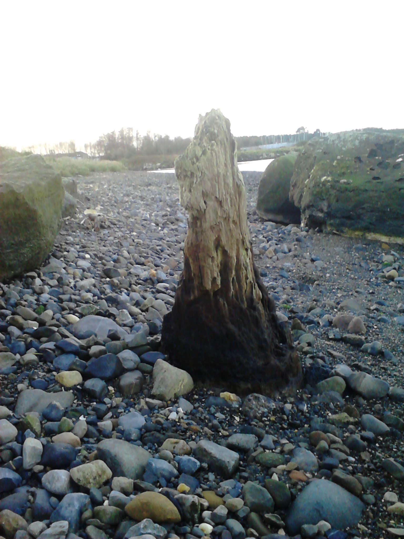
Remains of mooring post, estuary south shore
*There are several variations on this name in the historical records including Inbher Domnonn, Inbher Domhnann, Inver Domnann, and Inver Domnon.
Sources
1. O’Curry, Eugene. Lectures on the Manuscript Materials of Ancient Irish History. J. Duffy, 1861.
2. Meath Chronicle, Mar 12, 1932.
3. Fingal Coastal Architectural Heritage Project. John Cronin and Associates for Fingal County Council, 2010.
4. Malahide estuary SPA: online.
5. The Civil Engineers and Architect’s Journal, Vol. 28. William Laxton, 1865.
6. The Irish Times, May 02, 1910.

